Slow though the process of selection may be, if feeble man can do much by his powers of artificial selection, I can see no limit to the amount of change, to the beauty and infinite complexity of the co-adaptations between all organic beings, one with another and with their physical conditions of life, which may be effected in the long course of time by nature’s power of selection.
I was out walking on Boulder Colorado’s Goshawk Ridge Trail after the US Thanksgiving Day and I saw a single line of at least 15 Wild turkeys (Meleagris gallopavo) cross the trail in front of me. This seemed ironic as Thanksgiving is a time when lots of domesticated turkeys in the US are sacrificed for dinner. According to the National Turkey Federation, 95 percent of Americans surveyed eat turkey during Thanksgiving. They also estimate that about 45 million turkeys are consumed each Thanksgiving holiday.
I was sorry I didn’t have my telephoto lens and an off-trail permit to get some photos of these real, not for sandwiches, naturally selected (vs. artificially selected) turkeys. I was determined to return and get some photos for you.
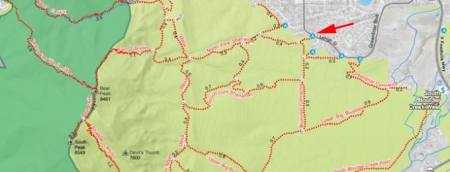
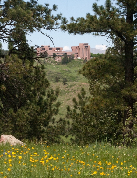
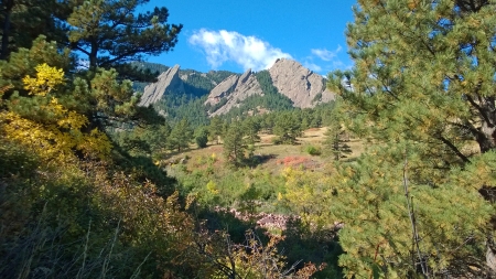
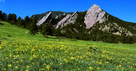
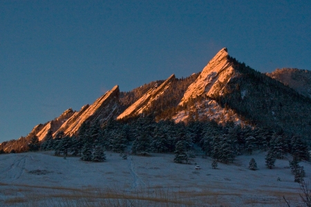
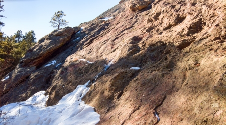
Our journey starts on the Fowler Trailhead. To get to the Fowler Trailhead go left about two miles west of highway 93 on Eldorado Springs Drive (highway 170) to County Road 67. County Road 67 goes up past the Eldorado Mountain Yoga Ashram and ends at the Eldorado Mountain entrance where we pick up the trail…
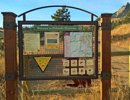
Eldorado Mountain Trailhead Sign
Here’s a trail map…
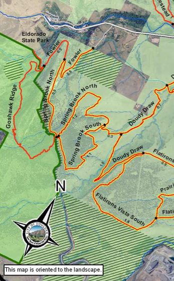
Take the Fowler to Springbrook North to Goshawk Ridge
The Goshawk Ridge Trail is within the Eldorado Mountain Habitat Conservation Area (HCA), meaning hikers must stay on trail unless they have an Off-Trail Permit. This free permit can be immediately obtained on-line.
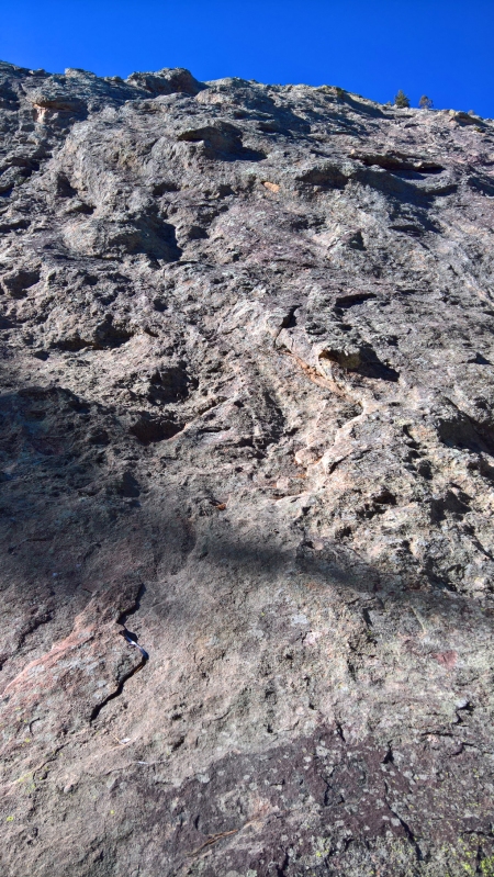
Follow the Fowler Trail to the Springbrook Trail. The Goshawk Trailhead starts on the opposite side of a metal bridge over an aqueduct where you will see this sign…
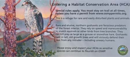
Sign at Goshawk Trail
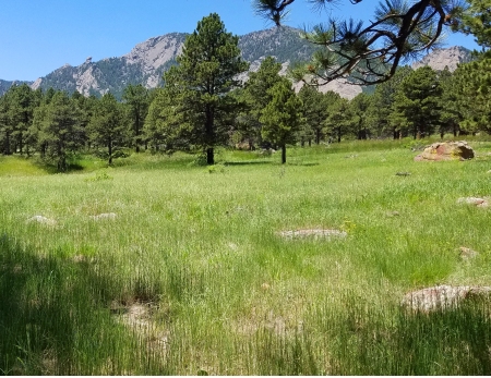
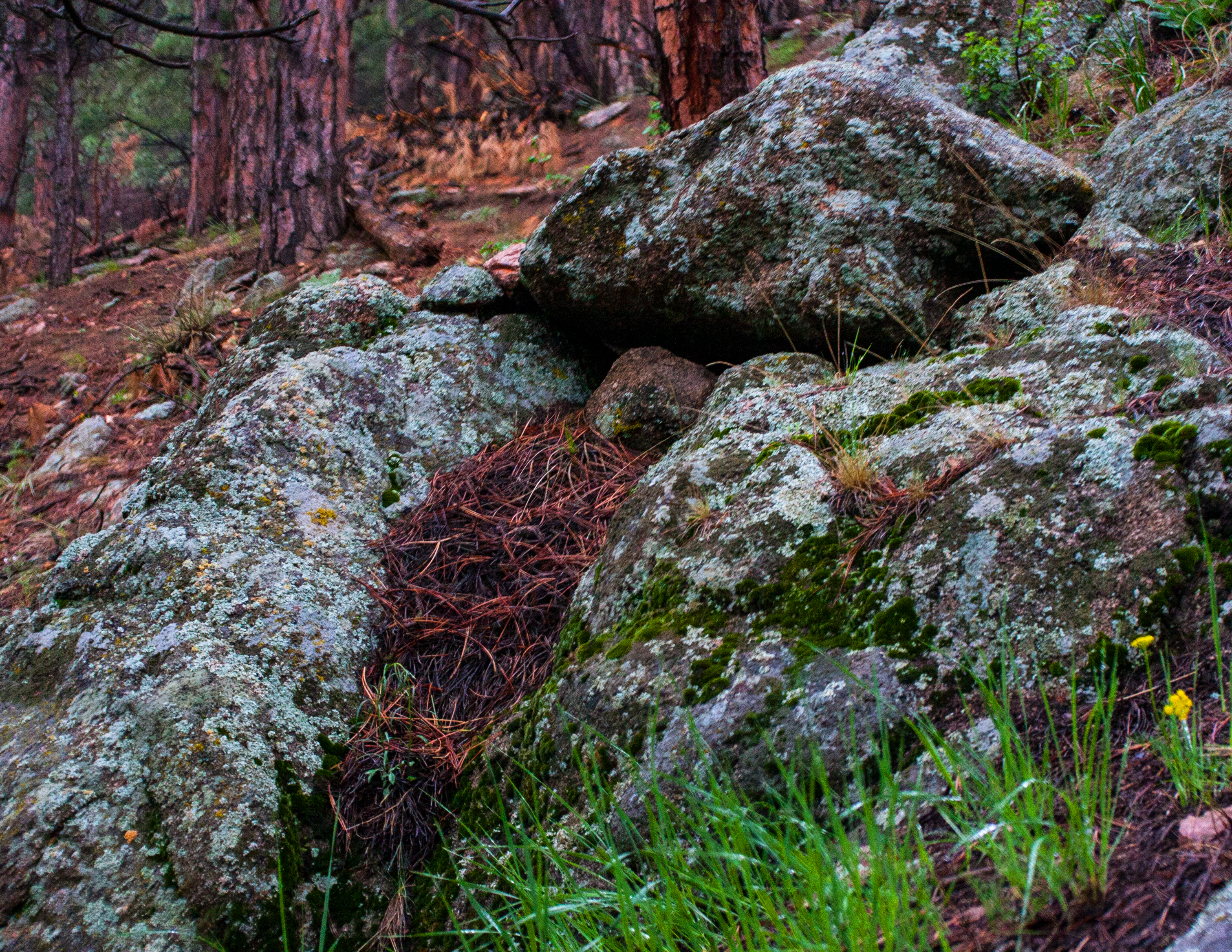
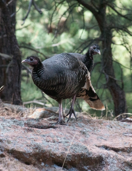
After several fruitless attempts I found a flock on 05 December 2016 in the old growth forest on the South side of the Ridge about 1/3 mile (550 m) from the trailhead…
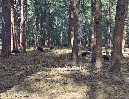
I Found a Flock!
Some Wild turkey facts:
-The wild turkey, throughout its range, plays a significant role in the cultures of many Native American tribes all over North America. Thanks to this we eat turkey on Thanksgiving day.
-The turkey was Benjamin Franklin’s choice for the United States’ national bird. He described the Great Seal…
“I am on this account not displeased that the Figure is not known as a Bald Eagle, but looks more like a Turkey. For the Truth the Turkey is in Comparison a much more respectable Bird, and withal a true original Native of America… “
If the turkey was chosen as the US National Bird would we eat bald eagles for Thanksgiving?
United States National Bird (Almost)
-By the early 20th century, thanks to hunting and habitat destruction, wild turkeys no longer roamed over much of their traditional range. Wild turkey reintroduction programs began in the 1940s. These efforts worked well and wild turkeys now live across North America.
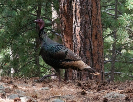
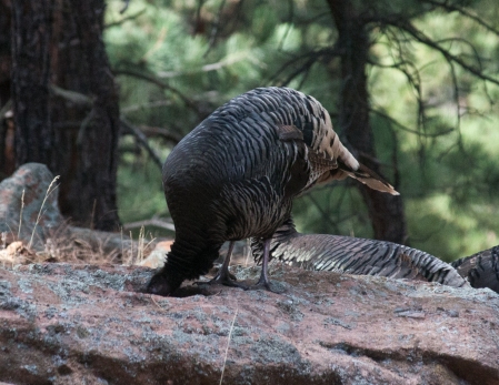
-Only adult male turkeys (Toms) display the ruffled feathers, fanlike tail and bare head commonly associated with these birds. They also gobble with a distinctive sound that can be heard a mile (a kilometer and a half) away.
-Wild turkeys can have over 5,000 feathers. Male turkeys also have what is called a beard located in the chest area. Upon sight, the beard appears to be hair, but is actually a mass of thin feathers.
-Turkeys have a keen sense of hearing and can pinpoint sounds from as far as a mile away.
-Despite their weight, wild turkeys, unlike their domesticated counterparts, are agile fliers. They usually fly close to the ground for no more than a quarter mile (400 m) at speeds of up to 55 miles per hour (88 kilometers/hr.)…
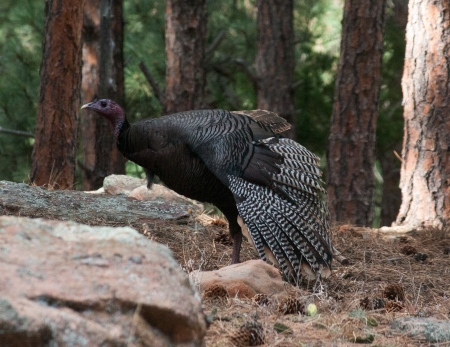
These Wings Are Made For Flying (note the “beard” growing from the breast)
-Males are polygamous, mating with as many hens as they can charm and may be seen courting in groups. Genetic analysis of pairs of males courting together shows that they are close relatives, with half of their genetic material being identical. This evolutionary strategy is unlike that of species (e.g., deer) where only the dominant male mates. This ensures that non-dominant male’s genes will have an opportunity to remain in the turkey gene pool…
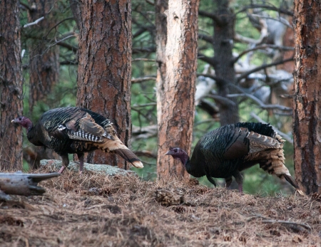
Two Wild and Crazy Toms
-Turkey hens lay 4 to 17 eggs in early spring. The eggs are incubated for at least 28 days. The hatchlings are called poults and they hit the ground running. They are precocial (they are born able to survive) and nidifugous (they leave the nest shortly after hatching). Poults leave the nest in about 12–24 hours allowing mom to join the flock as a free bird. Hens do not invest much in rearing offspring because they don’t have to. Male turkeys don’t invest any effort in their offspring because that’s the way it is for turkeys.
Two Hens
-Occasionally, turkeys may behave aggressively towards humans. They have been seen to chase people. However, attacks can usually be deterred and minor injuries can be avoided by giving turkeys a respectful amount of space. A telephoto lens is required!
Thirsty Hen
– Predators of both adults and poults include coyotes (Canis latrans), American black bears (Ursus americanus), and northern goshawks (Accipiter gentilis). This may explain why the latter are attracted to this forest.
-Wild turkeys are omnivorous, foraging on the ground or climbing shrubs and small trees to feed. Turkey populations can reach large numbers in small areas because of their ability to forage for different types of food.
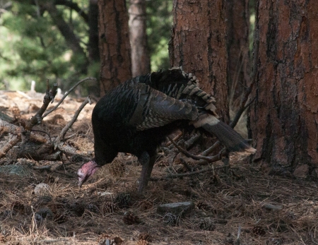
Tom Foraging on the Forest Floor
I discovered this young mule deer buck (Odocoileus hemionus) watching me photograph the turkeys. He appears to be saying…
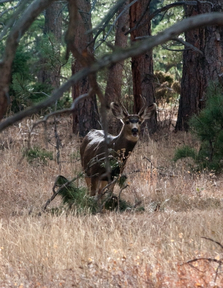
How About Taking My Picture?
Wild turkeys have been created and evolved by natural selection. This makes them precisely adapted to the environments they inhabit. They are amazing and beautiful wild creatures reflecting the influence of the natural world.
Domesticated turkeys have been selectively bred by humans to satisfy our needs with traits that we want. The result is a freak unsuited for the natural world. For example, domesticated turkeys are bred to have large breast muscles. The big breast muscles on these turkeys make it too difficult for mating, so they must be artificially inseminated. What a life…
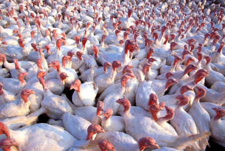
Modern Domesticated Turkeys Under Commercial Conditions. Photo by Scott Bauer
I prefer tofu.