Posts Tagged ‘sumac’

Crimson Canyon

October 21, 2015

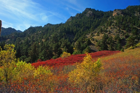
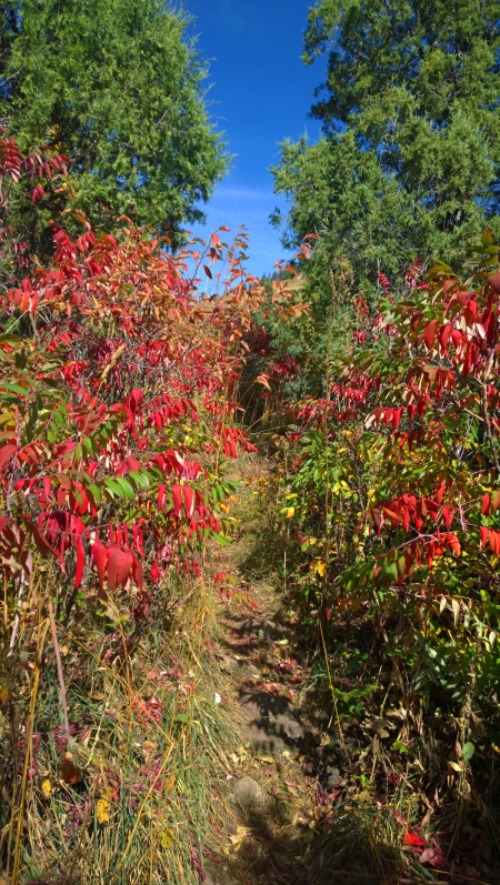
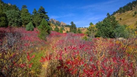
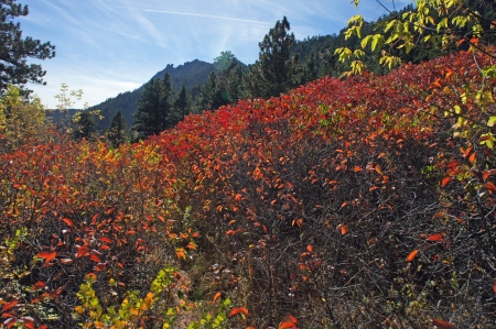
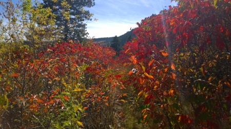
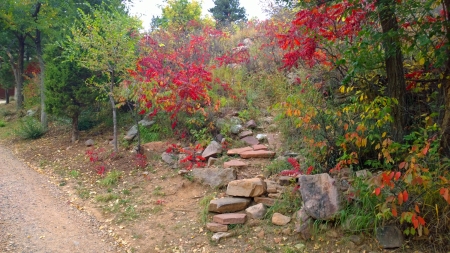
Here in Boulder Colorado the native plants are generally earth-toned in Fall leaving our bright yellow and red aspens for higher elevations. One notable exception is Sumac (Rhus glabra). Sumac’s fall foliage fills our canyons with a deep crimson that is a photographic magnet.

Sumac, poison ivy, Brazilian pepper, cashews, mangoes and pistachios are all related. Rhus glabra is not poisonous and, in fact, the seeds (drupes) are a widely used spice in Middle Eastern and Mediterranean cooking. It is also used as a lemonade-like tea called Sumac-ade.

My favorite area for Sumac peeping is on Boulder’s South Side. I was hiking on the Fowler Trail a few days ago when I noticed the signature crimson on the lower portion of Shadow Canyon. I decided to return there with my cameras the following day.

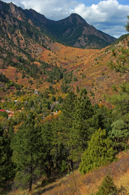
Lower Shadow Canyon

The houses are in the town of Eldorado Springs (home of Eldorado Natural Spring Water). The pool is the Eldorado Swimming Pool and Resort.

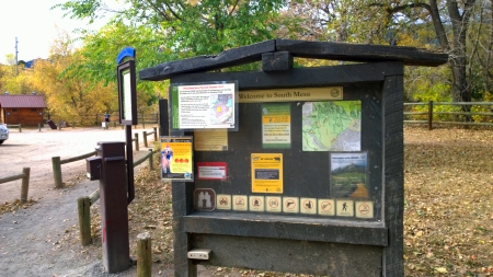
This portion of the Canyon can be reached by descending from the Shadow Canyon trail. Parking is available at the South Mesa Trailhead (there is a small fee for non-Boulder cars)

South Mesa Trailhead Signage

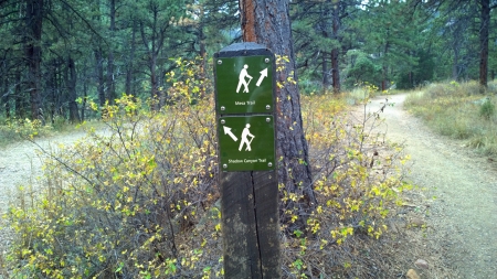
Hike up the Mesa Trail for 1.5 miles/ 2.4 km until you reach this sign, then follow the Shadow Canyon Trail…

Shadow Canyon Signage-1

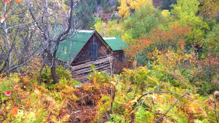
Soon you will pass the McGillvray Cabin to the South of the trail…

McGillvray Cabin

The main part of the McGillvray Cabin was built sometime between 1870 and 1885.  An addition was made in the mid-1920s and since their construction style is quite different, it’s easy to determine the original cabin from the new.

Stay on the Shadow Canyon Trail past this turnoff back to the Mesa Trail…

Shadow Canyon Signage-2

Behold The Matron in Autumn, popular with climbers…   The Matron in Autumn (8x10)
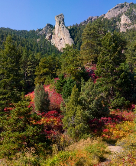
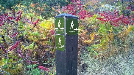
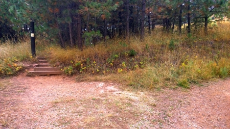
At 2.1 mi / 3.4 km you will see this missing sign which is the way to the Lower Shadow Canyon. I’ve heard this trail referred to as the “Old Mesa Trail” but I haven’t found any references to that name…

Lower Shadow Canyon Sign

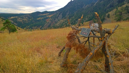
Proceed down this trail over the ridge past this weird sign. The Fowler and Goshawk Ridge trails are across the way. Down toward Eldorado Springs and through the sumac hued canyon we go…

Shadow Canyon Sumacs-20

Shadow Canyon Sumacs-2

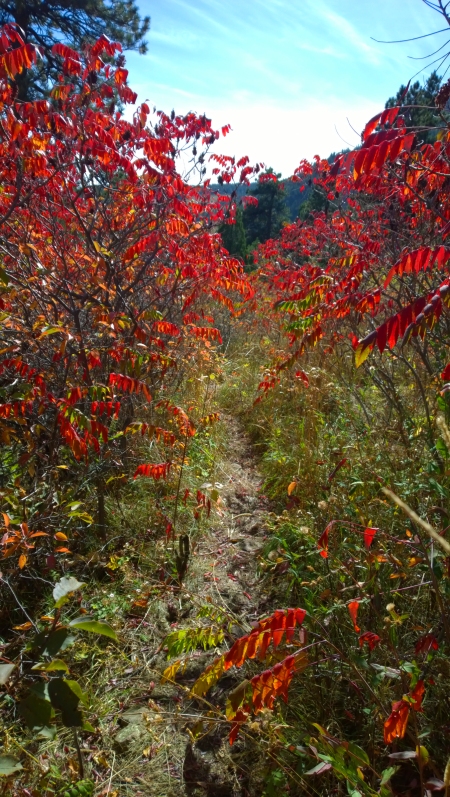
These sumacs are taller than humans…

Shadow Canyon Sumacs-18

Shadow Canyon Sumacs-12

Shadow Canyon Sumacs-13

Sumacs-3

Shadow Canyon Sumacs-17

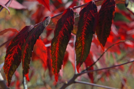
Leaves in transition…

Sumac Leaves in Transition

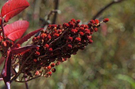
The drupes are full of lemony seeds…

Lemony Droups

After 1 mi/ 1.6km the trail abruptly ends in Eldorado Springs…

Lower Shadow Canyon Trailhead

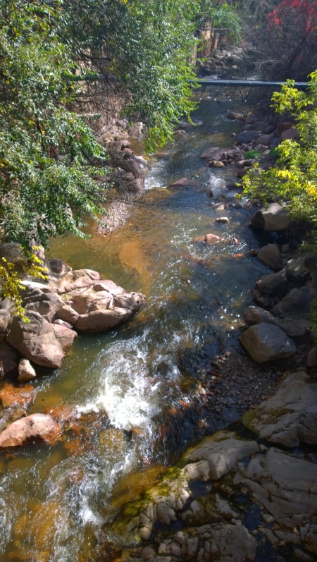
The walk back to the South Mesa Trail parking area is about another mile east on Eldorado Springs Drive. Unfortunately this stretch of the loop is on the highway. To get there cross the South Boulder Creek

South Boulder Creek

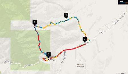
It is possible to take a shorter hike up the Canyon from Eldorado Springs but the parking is limited and the trail access is tricky. Here is the loop I hiked, the mileage is shown…

Shadow Canyon Loop

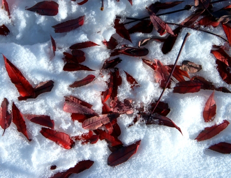
Soon the snows will come and the leaves will fall…
Sumac Leaves In Snow

Sizzling Sumac on the Homestead

October 25, 2012

“Now by the brook the maple leans
With all his glory spread,
And all the sumachs on the hills
Have turned their green to red.”

– from Indian Summer /William Wilfred Campbell

South Mesa Fall Sumac Vista Captured 1 October 2012 10:30am @ 39°56’25.45″N 105°15’36.88″W

Snow is on the way so it is time to return to the South Mesa Trailhead to celebrate the spectacle of fall in sumac country before it fades to white. This fall mosaic is tiled with sumac…

Crimson and Gold Mosaic Under The Pines

Rhus aromatica gold and Rhus glabra crimson tiles…

Rhus aromatica Gold

Rhus glabra (Smooth Sumac) Crimson

Both plants are related to but much kinder than their evil cousin Toxicodendron rydbergii (poison ivy). This family includes several species (Cashew, Pistachio, Mango) of economic importance. The drupes of the genus Rhus are ground into a deep-red or purple powder used as a spice in Middle Eastern cuisine. A drink made from the drupes is known as Sumac-ade.

Mandy and I decided to hike up the newly rerouted Homestead Trail. A steep section up a mesa was replaced with a switch back offering sweeping views of Eldorado Mountain and the South Boulder Creek below. Our hike starts at the South Mesa Trailhead. After a short walk across the South Boulder Creek bridge we pickup the Homestead Trail which starts next to the Dunn House. Be sure to read the interpretative sign, this area is rich with cultural artifacts. There is even a downloadable audible walking tour available from the City of Boulder’s Open Space and Mountain Parks department.

The Dunn House marks the Towhee Trail

We follow the trail to the Homestead trailhead and go west…

Go Left Up the Mesa

We climb above the South Boulder Creek  with views of the canyons and mountains to the west…

The Trail Provides Views of Eldorado Canyon and Mountain Mandy

I found a great spot on the mesa to set up my panorama tripod to capture some large vistas of Eldorado Mountain and Eldorado Canyon State Park. Can you see the Mickey Mouse Climbing Wall?

View from the Homestead Trail (39°56’18.81″N 105°16’9.29″W)

Just then an Amtrak train went chugging up Eldorado Mountain on its way west via the route of the California Zephyr

I Think I Can…I Think I Can

More South Boulder Creek Color

View from the Ridge

Some Cottonwoods Add Yellow

Who Needs A Bridge Across the South Boulder Creek?

With color in the camera we are ready for the snow. Soon it will look like this.
South Mesa Winter Sumac Captured 23 Feb 2010 9:07 am @ 39°56’25.45″N 105°15’36.88″W

Boulder Fall Color Fades To White

October 29, 2011

Here on the front range of the Colorado Rockies the mountain peaks tower as much as 9,000ft/2743.2m above the Great Plains. The higher you climb the colder it gets. This temperature change, called the lapse rate, is 6.5 degrees Celsius per 1000 meters or 3.57 degrees Fahrenheit per 1000 feet. This represents a 32F/18C temperature gradient from peak to prairie. It is for this reason that the autumn hues start their descent from the high country tundra in early September and work their way down to the prairie by late October. Boulder Colorado is on the boundary (ecotone) between the mountains and the prairie and is located at the base of the foothills. This temperature gradient conveniently provides Boulderites with lots of time to savor the fall color season (and the spring flowers to come).

Our first major snowstorm arrived yesterday so I used this week to take some photos before and after the snowfall. The storm eventually left 10in/25.40cm of snow. The last of fall color, descended from the high country, has completed its journey and is now fading to white.

Before…

Fall Color On The Prairie Before the Storm

After…

Snow Blankets the Prairie

Boulder’s iconic First Flatiron before…

Flatiron Color Captured 23 October 2011 Noon @ 39°59'40.74"N 105°17'14.46"W

After…

Frosted Flatiron

One of my favorite Boulder fall hangouts is the South Mesa Trail. Mandy and I went there to capture the last hues before the snow quenches the color…

Mandy Takes a Colorful Break

The landscape changed the next day…

Mandy Chills Out

South Mesa offers great fall vistas…

Captured 19 Oct 2011 10:15am @ 39°56'25.45"N 105°15'36.88"W

The sumac (Rhus coriaria) was at its peak…

The Fall Sumac are Brilliant

South Mesa Sumac Vista

Today many of the brilliant leaves have fallen onto the snow…

Many of the Sumac Leaves Have Fallen

Even the remaining sumac seeds (drupes) are beautiful…

The Sumac's Fruit (Drupe)

Still many leaves remain forming the foreground for Devil’s Thumb and Boulder’s southern peaks…

Frosty Fall Wonderland

Soon the South Mesa sumac will be bare, its red hues fading to winter brown and white…

South Mesa Wintermoon Vista Captured 23 Feb 2010 9:07 am